
Understanding Bay Area Planting Zones: A Guide for Homeowners
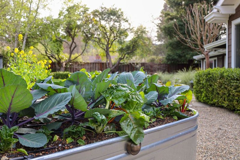
If you’ve ever bought a plant at a local nursery and noticed a small “zone” number on the tag, you’ve already been introduced to one of the most useful — and most misunderstood — tools in garden planning. Planting zones tell you whether a plant can survive your winters, thrive in your summers, and perform reliably over time. But for Bay Area homeowners, the story goes much deeper than a single number.
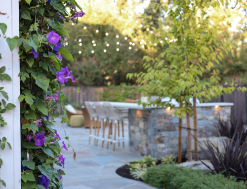
Few regions in the United States compress as much climatic variation into as small an area as the Bay Area. What’s true in Alamo is not true in Sausalito. What thrives in a sun-drenched Danville backyard may struggle in a fog-cooled Lafayette courtyard — or even on the shaded north side of the same property. Understanding your zone — and your specific microclimate — is the foundation of every planting decision we make at Montgomery Robbins, and it’s knowledge every homeowner benefits from having.
Here’s how the zone systems work, what’s changed recently, and why it matters far beyond which flowers you choose.
The USDA Zone System
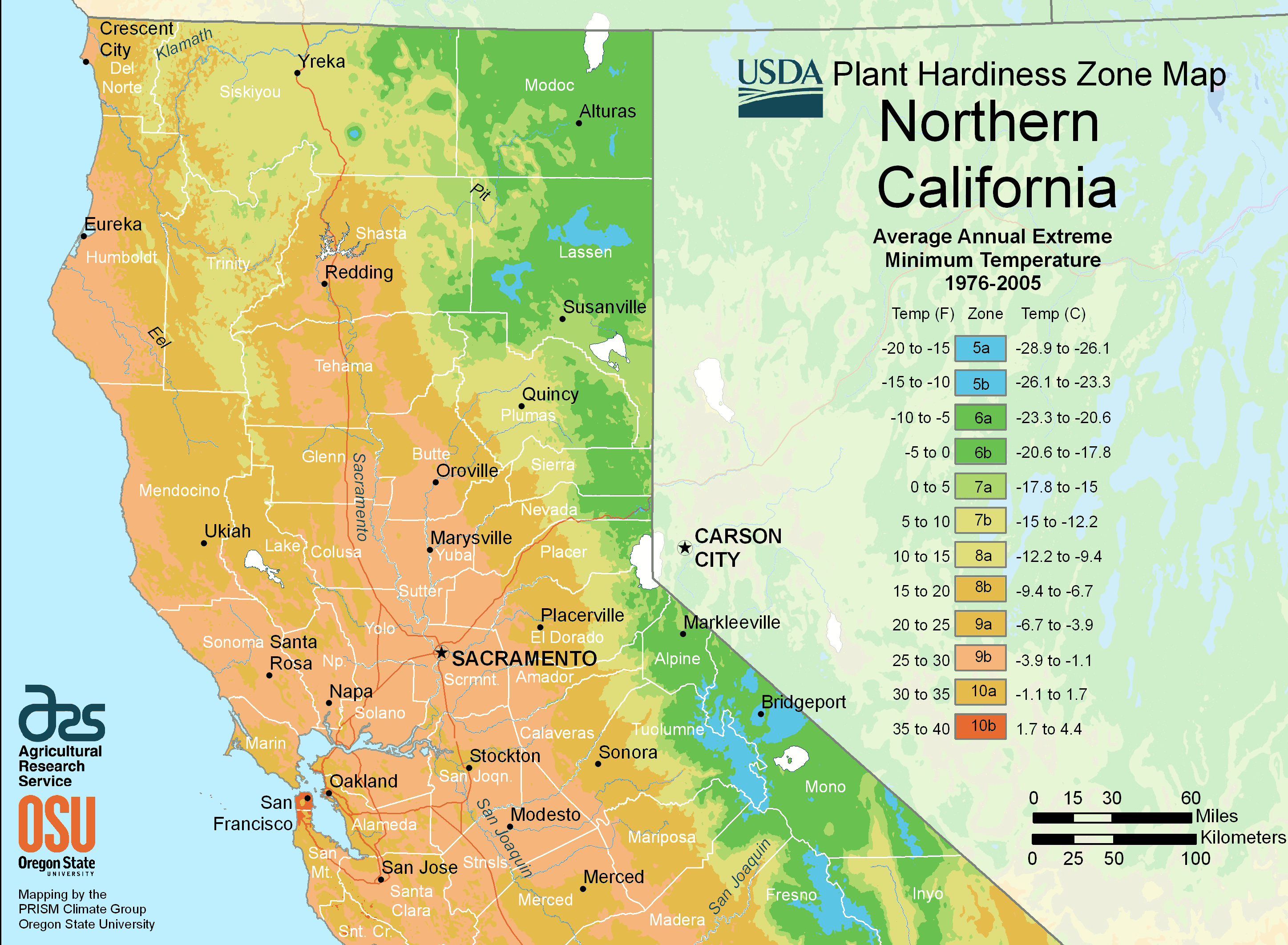
The USDA (U.S. Department of Agriculture) Hardiness Zone Map is the most widely used plant classification system in the country. It divides the United States into zones based on average annual minimum winter temperatures — essentially, how cold does it get, and for how long?
Most retail nurseries nationwide label their plants with USDA zone numbers, making it the common language of plant selection. Here in Alamo, Lafayette, Danville, and the surrounding Contra Costa communities, most properties fall within USDA zone 9b — characterized by mild winters with minimum temperatures typically between 25°F and 30°F. Depending on elevation and exact location within the area, some properties shade into zone 10a, where minimum temperatures stay between 30°F and 35°F. If you’re uncertain which applies to your property, a quick zip code lookup on the official USDA map at planthardiness.ars.usda.gov will give you the most current answer.
One important note: the USDA updated its zone map in 2023 for the first time in over a decade — expanding from roughly 8,000 weather stations to more than 13,000, and using temperature data from 1991 to 2020 rather than the older 1976–2005 window. Nationally, about half the country shifted half a zone warmer, but Alamo’s zone 9b designation held steady across both the 2012 and 2023 maps. The update is still worth knowing about: if you’ve been gardening with older reference materials or inherited plant tags from a previous owner, it’s always worth verifying your current zone before making significant planting decisions.
The Sunset Zone System
For Bay Area homeowners, the Sunset Western Garden zone system is often even more useful than the USDA map — and it’s what we work with most closely at Montgomery Robbins. Developed specifically for the varied climates of the Western United States, the Sunset system goes far beyond winter lows. It accounts for humidity, seasonal fog patterns, wind exposure, elevation, and the number of growing days per year. These are exactly the variables that make one side of a Bay Area hill feel like a completely different environment from the other.
Locally, most of our project communities fall within Sunset zone 14 — officially described as “Inland Northern and Central California with Some Ocean Influence.” The growing season runs from early March to mid-November. Winter lows typically range from 26°F to 16°F, and marine air from the Pacific regularly pushes inland through the opening created by San Francisco and San Pablo Bays, moderating both summer heat and winter cold in ways that the USDA map simply doesn’t capture. Mediterranean-climate plants are especially at home here — which is one reason why Bay Area landscapes can achieve a level of year-round beauty that’s difficult to replicate elsewhere in the country.
It’s worth noting that not all Bay Area communities share zone 14. Coastal areas from Marin through the Peninsula typically fall in Sunset zones 15, 16, or 17 — progressively cooler, foggier, and more marine-dominated. A plant that thrives in zone 14 inland Alamo may struggle or fail entirely in a zone 17 oceanside garden. This is why a single zone number, even from the more detailed Sunset system, only tells part of the story.
The AHS Heat Zone Map
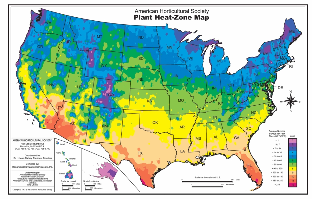
A useful — if less standardized — addition to the zone toolkit is the American Horticultural Society’s Heat Zone Map, developed in 1997. Where the USDA tracks cold, the AHS tracks heat: specifically, the number of days per year that temperatures exceed 86°F, the point at which many plants begin to experience cellular stress.
The AHS system divides the country into 12 heat zones, from zone 1 (fewer than one heat day per year) to zone 12 (more than 210). Unlike the USDA and Sunset systems, the AHS map hasn’t been widely adopted by retail nurseries and isn’t yet standardized on plant tags — so you’re unlikely to encounter it at your local garden center. It’s also not as easily looked up by zip code as the USDA map. What it does offer is a useful conceptual lens: plants that can survive our winters may still struggle in prolonged summer heat, and understanding that threshold helps explain why some otherwise zone-appropriate plants underperform during extended inland heat events.
For long-term landscape investments, keeping heat tolerance in mind alongside cold hardiness is becoming increasingly relevant as Bay Area summers trend warmer in certain inland microclimates.
Why the Bay Area Is One of the Most Complex Planting Regions in the Country
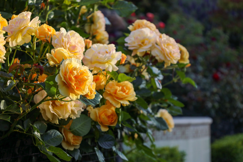
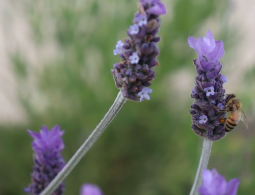
So when it comes down to it, how do planting zones affect us? If you live in the Bay Area, you know that the Sunset district in San Francisco can differ by a good 25 degrees from the temperature at the foot of Mount Diablo. In fact, the Bay Area is one of the most diverse small areas in the US, with 4 distinct planting zones recognized by both Sunset and USDA. In your home garden, knowing your zone can help you determine what will do best where you live. For example, fruit trees requiring chill hours (peaches and pears, among others) will do well in our zone 14/9b. Plant the same trees in Jack London Square in Oakland, and they are unlikely to get any fruit at all! Most plants can survive a zone or two above or below their range, but may not be as successful. Peonies and lilacs also require colder winters (indicated by lower zones) for successful bloom. Tea roses do great inland, while they often develop mildew or pest problems near the coast. At the same time, we’ve been surprised to see a lovely tropical Bougainvillea growing in a zone where it should be impossible! So get in your zone, but be open to plants surprising you, as they so often do. Happy gardening!
Microclimates Within Your Own Property
The zone map tells you what your neighborhood experiences. But inside your property line, the variables multiply — and this is where landscape architecture earns its keep.
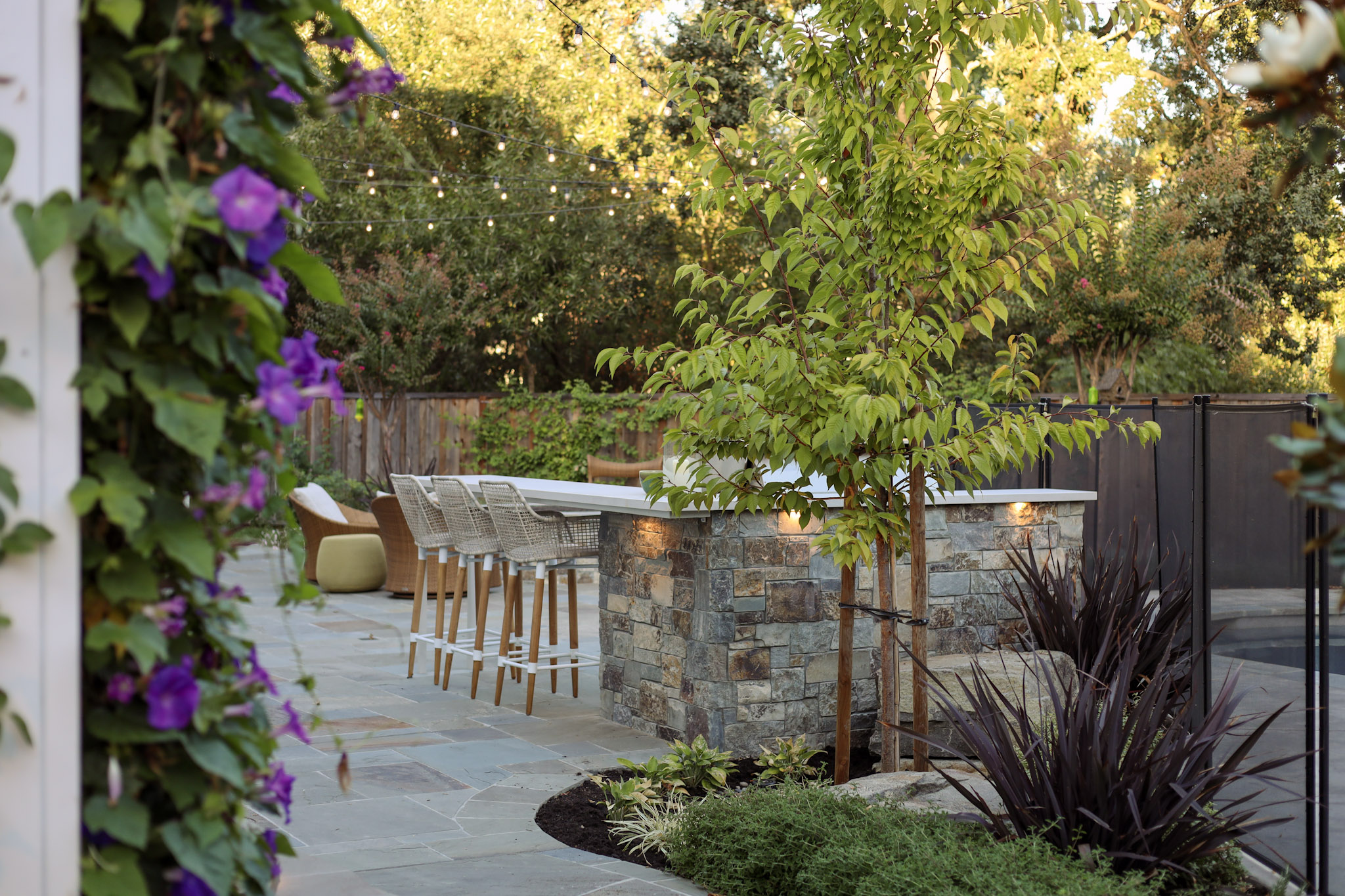
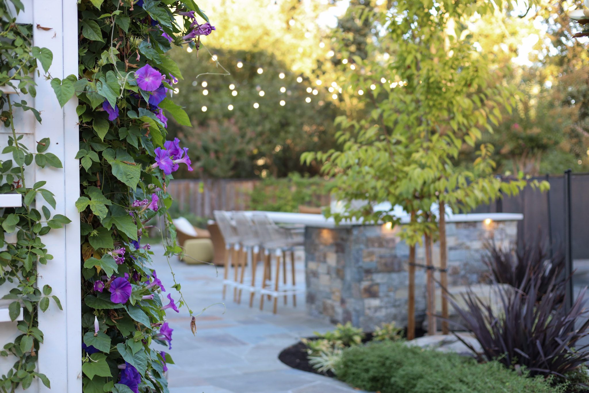
A south-facing slope captures full sun and dries out quickly, behaving more like a zone or two warmer than your official designation. A north-facing wall stays cool and shaded, creating conditions suited to plants that would otherwise struggle in your zone. A low-lying area near a drainage swale collects cold air on winter nights and may experience frost when the rest of your property does not. A west-facing garden exposed to afternoon wind off the Bay will challenge plants that sail through life in a sheltered interior courtyard twenty feet away.
At Montgomery Robbins, reading a property’s microclimates is one of the first things we do. Before we specify a single plant, we walk the site, observe sun angles and shade patterns, note where water moves, identify wind exposure, and map the thermal pockets that will define which plants succeed where. This site-specific knowledge is something no zone map — however detailed — can substitute for.
Understanding your microclimates also protects your investment. Plants placed in the wrong microclimate don’t just underperform — they require ongoing replacement, generate maintenance costs, and never achieve the design intent. Getting this right from the start is one of the most tangible ways a landscape architect saves clients money over time.
What Your Zone Means Beyond Plants

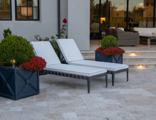
Planting zones are the most visible application of climate data in landscape design — but they’re far from the only one. For homeowners investing in complete outdoor living environments, zone and microclimate knowledge informs decisions well beyond plant selection.
Materials:
Certain natural stones are prone to cracking in freeze-thaw cycles. In our zone 9b climate, this is rarely a concern for hardscape, but coastal properties with higher humidity require more careful material selection to prevent surface erosion and staining over time. Wood species, metal finishes, and composite materials all perform differently depending on salt air exposure, humidity levels, and sun intensity.
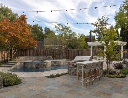
Outdoor kitchens and structures:
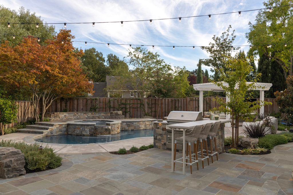
A pergola or pavilion designed for a hot inland microclimate will be used very differently than one in a fog-cooled coastal garden. Orientation, shade structures, heating solutions, and enclosure decisions all flow from an honest understanding of how the space will actually feel at 4pm on a July afternoon versus a November evening.
Pools and water features:
Water temperature, evaporation rates, and heating system requirements vary meaningfully across Bay Area microclimates. An infinity-edge pool on a Marin hillside exposed to afternoon wind will lose heat and water very differently than a sheltered pool in a Pleasanton backyard.
Irrigation:
Zone and microclimate data directly inform irrigation system design — how much water different areas of your property actually need, what time of year supplemental irrigation is required, and how to avoid overwatering in cool, fog-influenced zones while adequately supporting plantings in hotter, drier exposures.
This is why experienced landscape architects don’t just hand you a plant list. They design a system — one where every decision, from the stone on the terrace to the drip emitters in the planting beds, reflects a clear-eyed understanding of your specific climate conditions.
Frequently Asked Questions
What planting zone is the Bay Area?
The Bay Area spans multiple planting zones across both the USDA and Sunset systems. Inland communities like Alamo, Lafayette, Danville, and Walnut Creek are generally in USDA zone 9b and Sunset zone 14. Coastal and near-coastal communities generally fall in warmer USDA zones (10a, 10b) due to milder winters — but in cooler, foggier Sunset zones (15, 16, or 17), where summer marine influence dominates. This is precisely why knowing both systems matters: a community can have mild winters and relentlessly cool summers at the same time. Because both systems measure different things, knowing both your USDA and Sunset zone gives you the most complete picture of what will thrive where you live.
What is Sunset zone 14?
Sunset zone 14 is officially described as “Inland Northern and Central California with Some Ocean Influence.” It covers much of the inland Bay Area — including Alamo, Lafayette, Danville, Walnut Creek, and surrounding communities. Its growing season runs from early March to mid-November. Winter lows typically range from 26°F to 16°F, and marine air regularly pushes inland through the San Francisco and San Pablo Bay openings, moderating temperature extremes. Mediterranean-climate plants thrive here. Coastal Bay Area communities typically fall in Sunset zones 15–17, which are cooler, foggier, and more marine-dominated than zone 14.
Did Bay Area planting zones change with the 2023 USDA update?
The USDA updated its hardiness zone map in 2023 using data from 13,412 weather stations — significantly more than the roughly 8,000 used for the 2012 map. Nationally, about half the country shifted approximately half a zone warmer. In our area specifically, Alamo’s zone 9b designation held steady between 2012 and 2023. That said, the update is still worth knowing about: if you’re working from older plant references or zone maps, the official USDA tool at planthardiness.ars.usda.gov lets you look up your current zone by zip code.
How do microclimates affect my garden?
Microclimates are localized climate conditions within a specific area — your property, a single garden bed, or even one side of a wall. Sun exposure, wind patterns, slope, proximity to water, and surrounding structures all create microclimates that can vary significantly from your official zone designation. A south-facing slope may behave a full zone warmer; a shaded north exposure may stay significantly cooler.
Why does my plant thrive in one part of my yard but struggle in another?
Almost always, the answer is microclimates. Differences in sun exposure, drainage, wind, and reflected heat from structures create conditions that can vary dramatically within a single property. A licensed landscape architect can map your property’s microclimates and select plants suited to each area.
At Montgomery Robbins, we’ve been designing landscapes for Bay Area homeowners for over 50 years. Understanding your climate — at the regional level and within your own property — is where every great design begins. If you’re planning a landscape investment and want to get the foundation right, we’d love to talk.